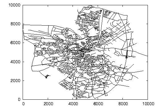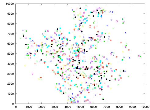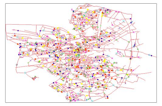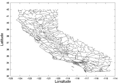
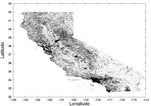
1. California Road Network and Points of Interest. Please cite our work in SSTD 2005 (On Trip Planning Queries in Spatial Databases) if you can, when using this databaset in your work.We spent a lot of effort in collecting, cleaning and integrating data from different sources, format into the current, easy-to-use form.
California Road Network's Nodes (Node ID, Longitude, Latitude)
California Road Network's Edges (Edge ID, Start Node ID, End Node ID, L2 Distance)
California's Points of Interest With Original Category Name (Category Name,
Longitude, Latitude)
California's Points of Interest (Longitude, Latitude, Category ID)
Merge Points of Interest with Road Network--Map Format
Map Format in Detail:
For each edge:
Start Node ID, End Node ID, Number of Points on This Edge, Edge Length.
For each point on this edge:
Category ID, Distance of This Point to the Start Node of This Edge
Note: A. The road network is obtained from: Digital Chart of the World Server (http://www.maproom.psu.edu/dcw/)
B. The category points are obtained from: U.S. Geological
Survey (http://www.usgs.gov/)


2. San Francisco Road Network
San Francisco Road Network's Nodes (Node ID, Normalized X Coordinate, Normalized Y Coordinate)
San Francisco Road Network's Edges (Edge ID, Start Node ID, End Node ID, L2 Distance)
Note: Road network is from T. Brinkhoff: A framework for generating network-based moving objects.
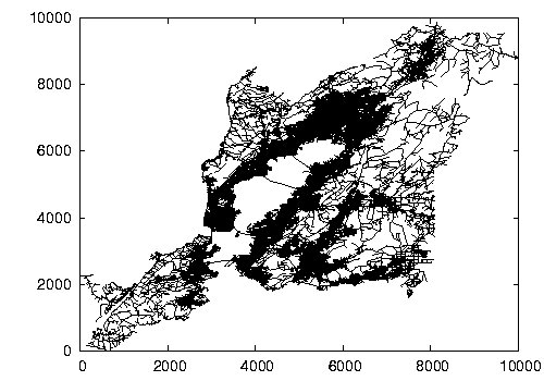
3. Road Network of North America (NA)
North America Road Network's Nodes (Node ID, Normalized X Coordinate, Normalized Y Coordinate)
North America Road Network's Edges (Edge ID, Start Node ID, End Node ID, L2 Distance)
Note: The road network is obtained from: Digital Chart of the World Server (http://www.maproom.psu.edu/dcw/)
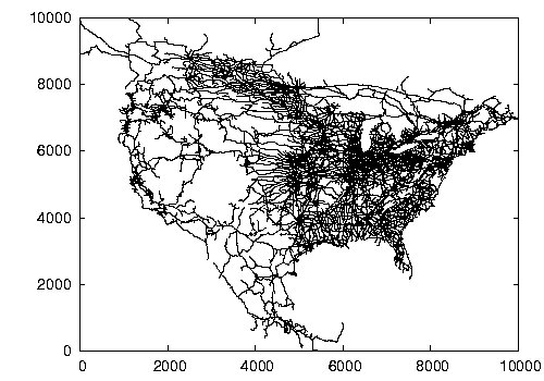
4. City of San Joaquin County (TG) Road Network
TG Road Network's Nodes (Node ID, Normalized X Coordinate, Normalized Y Coordinate)
TG Road Network's Edges (Edge ID, Start Node ID, End Node ID, L2 Distance)
Note: Data is from T. Brinkhoff: A framework for generating network-based moving objects.
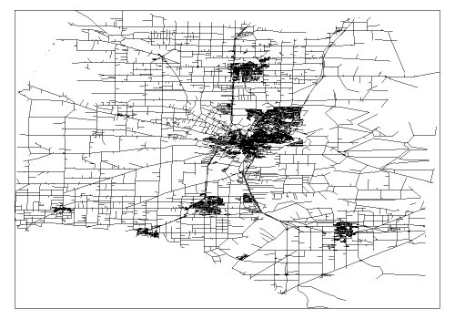
5. City of Oldenburg (OL) Road Network
OL Road Network's Nodes (Node ID, Normalized X Coordinate, Normalized Y Coordinate)
OL Road Network's Edges (Edge ID, Start Node ID, End Node ID, L2 Distance)
Note: Road network is from T. Brinkhoff: A framework for generating network-based moving objects.
